The ‘major schemes’ are the significant corridors that cross Bridgwater through the town centre from north to south and west to east. These will become the major corridors to use by all but, more significantly by the working population, ours commuters.
North/South Corridor
This corridor runs from Puriton all the way to North Petherton; The approximate route starts at Puriton taking the Motorway cycle and pedestrain bridge over to Downend, through Downend village to the main A38 road, cross the road and down the A38 road to the Dunball Service Station (new off-road path to be come available), cross the major Dunball Roundabout on the west side of carriageway, follow the path beside the Bristol Road to the Express Park roundabout (Dunball to Express Park Scheme), cross over and then use a link path to the River Parrett bank (east), bank path to Western Way, loop off Western Way bridge and underneath to Linham Road, along the River Parrett bank (west), to the Docks area (Express Park to Docks Scheme), continue on river bank to West Quay, Binford Place and Blake Gardens, underpass loop to Broadway bridge, then Salmon Parade to River Parrett bank (east) all the way to Squibbers Way, take the two bridges (Parrett and Canal) to Marsh Lane, cross over to Taunton road cycle and pedestrian path (right side) all the way to Old Road in North Petherton. Note: Route maybe subject to alterations
The northern route to Bridgwater town centre from Puriton includes the EDF Dunball/Express Park/Linham Road/Docks schemes; These routes are truly welcome and will make a huge difference too cyclists and pedestrians alike. Beyond achieving this; getting funding for other major projects (outside of EDF S106 monies) is going to prove highly difficult. Therefore, the Dunball to town route will be the corridor of choice by many users and for many years to come i.e. Puriton residents, Polden Hill village people, Gravity employees, Morrisons workers, Bristol Road commuters, leisure riders and even people cycling further a field to Highbridge and beyond.
West/East Corridor
This corridor runs from Cannington all the way to Westonzoyland. The west side of town has some decent cycling infrastructure and therefore good routes are available, however the east side of town is hugely problematical and needs major design interventions and serious fundings raised in order to have good segregated cycle routes available. Therefore only the west corridor route can be clearly defined. East route through town bridge, Eastover, St Johns Street and out through the Westonzoyland Road all need to have some significant design street changes before the east side can be considered a corridor.
West corridor route starts at Cannington (south roundabout), along the cycle/pedestrain path to Sandford Corner, through Wembdon B3339 (via Sandford and Wembdon Hills), onto Wembdon Rise, cross the Homberg Way to ‘Old’ Wembdon Road’, link path by cemetery to Halesleigh Road, link path to Victoria Road, right then left down Lyndale Avenue, bear right towards the Docks area. From here the western route should go through Brewery Field (Northgate Yard) and Castle Moat to the Cornhill (town centre), however this section is to be reviewed after cinema complex has been built.
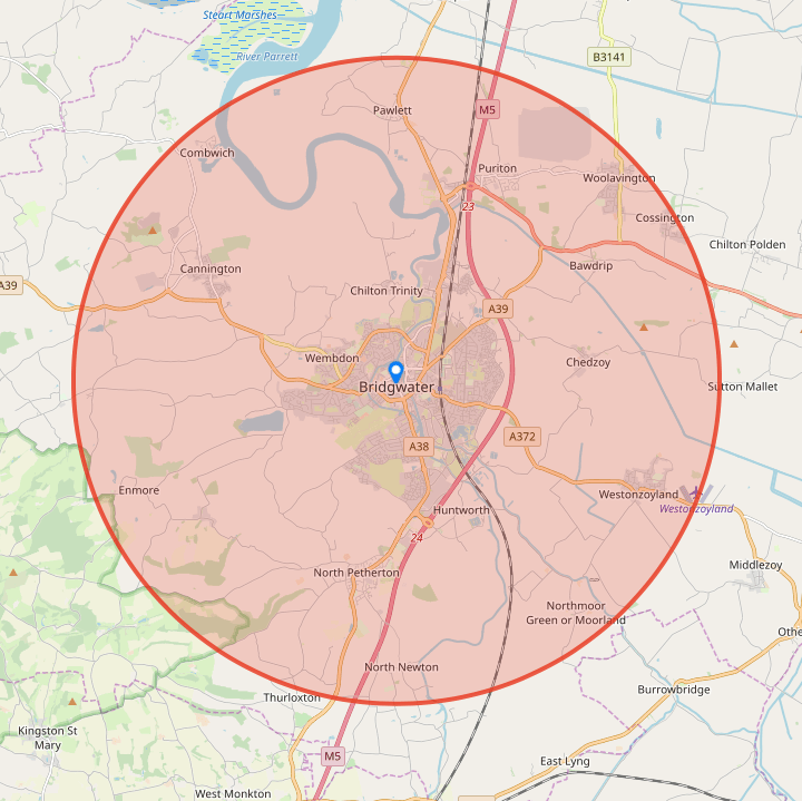
Bridgwater map below gives you an approximate view of our ‘major corridors’.